Loading [Contrib]/a11y/accessibility-menu.js
Skip to main content

Cryo

Cryospheric Sciences

About

Cryospheric Sciences is a part of Hydrospheric, Biospheric, and Geophysics Sciences located at NASA's Goddard Space Flight Center in Greenbelt, Maryland. We are an international group, from students to senior scientists, with diverse backgrounds in geophysics, computer science, geology, physics, math, geography, and engineering. Our scientists use in-situ and remote observations and modeling techniques to study the cryosphere and interactions with other parts of the Earth system.

The cryosphere encompasses components of the Earth that contain water in its frozen state: ice sheets, ice caps, glaciers, sea ice, snow, lake ice and permafrost. While these components exist at many locations on Earth, they are most abundant in the polar regions. We collaborate with other GSFC groups such as Global Modeling and Assimilation Office, Geodesy and Geophysics, and Hydrology Labs to understand the role of the cryosphere in the global climate. Observations and models of global climate indicate that the cryosphere is highly sensitive to climate change. Consequently, advancing our understanding of the past, present and future of the cryosphere is essential to our advancing understanding of the Earth as a whole.

The Broad Goals of the Cryospheric Sciences

  • Measuring and understanding the mass balance of land ice, and its implications for sea-level rise,
  • Monitoring and understanding important cryospheric processes, such as changes in sea ice and snow cover and their relationships with other parts of the climate system,
  • Improving the representation of cryospheric processes in climate models.


Field Campaigns

February 2017

SnowEx

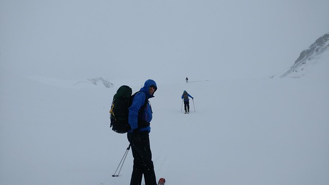
Under the leadership of Dr. Edward Kim, the 2017 SnowEx airborne and field campaign was carried out in Colorado during February 6-24. For more information please visit https://snow.nasa.gov/snowex.

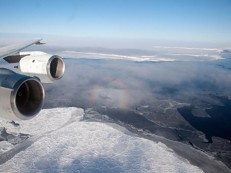
NASA’s Operation IceBridge images Earth’s polar ice in unprecedented detail to better understand processes that connect the polar regions with the global climate system. IceBridge utilizes a highly specialized fleet of research aircraft and the most sophisticated suite of innovative science instruments ever assembled to characterize annual changes in thickness of sea ice, glaciers, and ice sheets. In addition, IceBridge collects critical data used to predict the response of earth’s polar ice to climate change and resulting sea-level rise. IceBridge also helps bridge the gap in polar observations between NASA’s ICESat satellite missions.

Space Missions

icesat2
Launch

The Ice, Cloud, and land Elevation Satellite-2 (ICESat-2) mission is the second generation laser altimeter designed for cryospheric science measurements. Unlike its single-beam predecessor, ICESat-2 will split a single laser beam into six beams to enable measurement of elevation as well as surface slope, and uses a high-repetition rate laser to collect data every 70cm along the flight path.

icesat
Launch

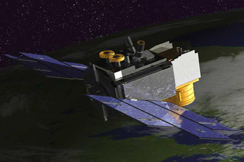
The Ice, Cloud, and land Elevation Satellite (ICESat) mission, launched in January 2003, has been an exceptional new tool for laser exploration of the planet - measuring the Earth’s surface and atmosphere in unprecedented three-dimensional detail.